From the exhibition
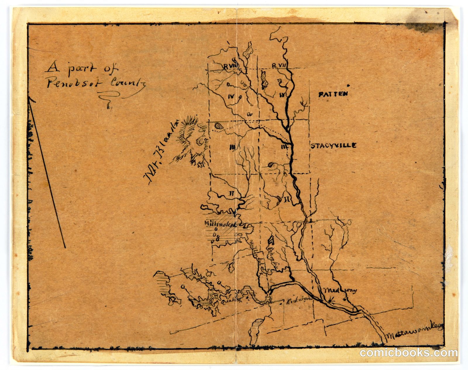
Map of a Part of Penobscot County, Maine
Frederic Edwin Church, American, 1826–1900 · 1876
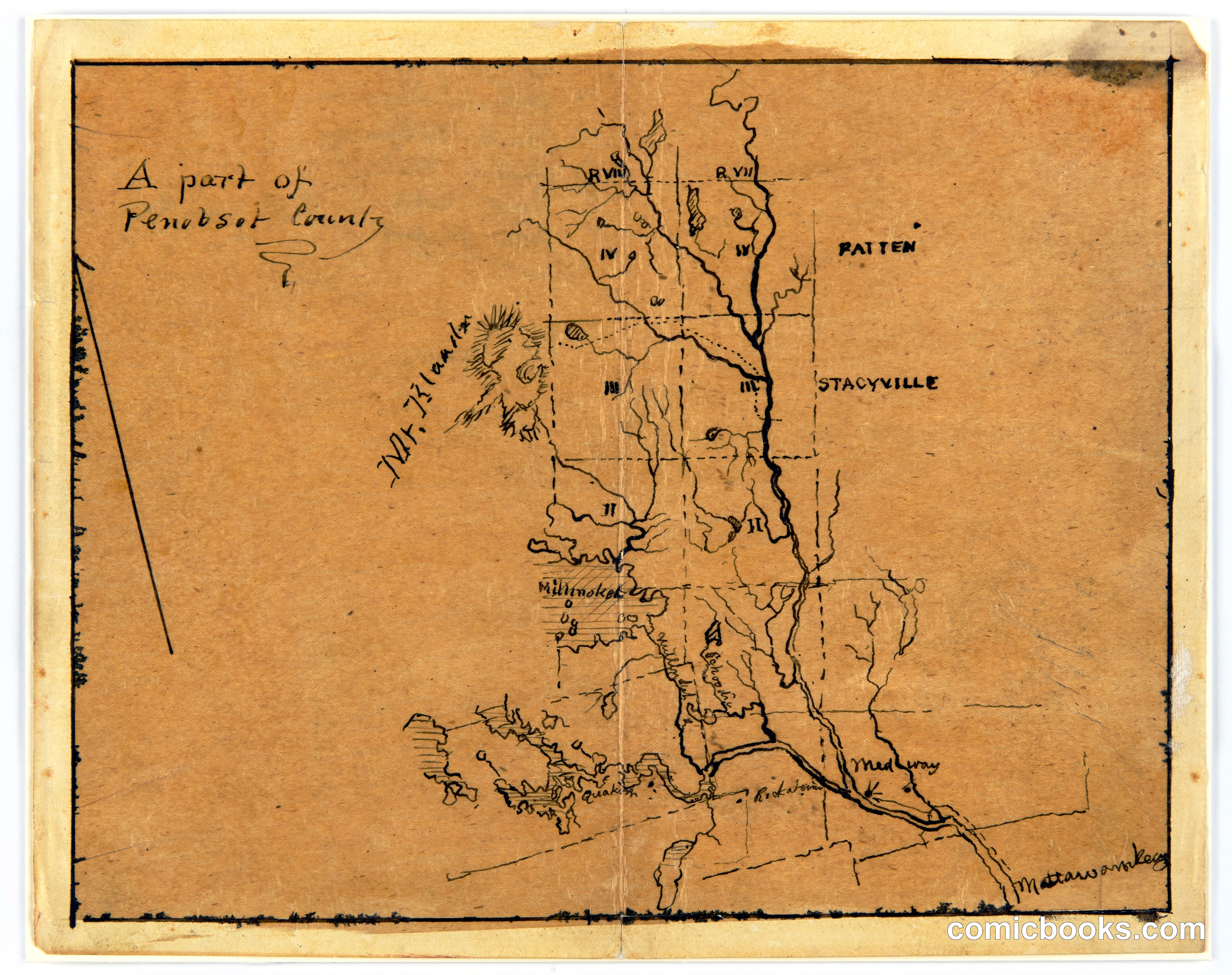
Frederic Edwin Church, the preeminent American landscape painter of the nineteenth century, sketched this topographic map of Penobscot County during travels through Maine. The hand-drawn chart records river systems, settlement names including Bangor and Stacyville, and terrain features rendered in Church's characteristic linear style. Such working maps reveal how artists of the Hudson River School gathered geographic and geological data to inform their monumental canvases. Church's meticulous field studies—whether of Ecuadorian volcanoes or New England watersheds—demonstrate the scientific curiosity underlying Romantic landscape painting.
Public domain, restored and presented by comicbooks.com CC0