From the exhibition
The Automobile Blue Book, Official 1913, Volume 4
· 1913

Automobile Blue Book, Volume 4: The Middle West (1913)
This is a touring handbook for automobile routes in the Central States, published by the Automobile Blue Book Publishing Company with the endorsement of the American Automobile Association. The volume contains detailed navigational guides for motorists, organized by route numbers connecting major cities including Chicago, Milwaukee, Indianapolis, Cincinnati, Detroit, and St. Louis.
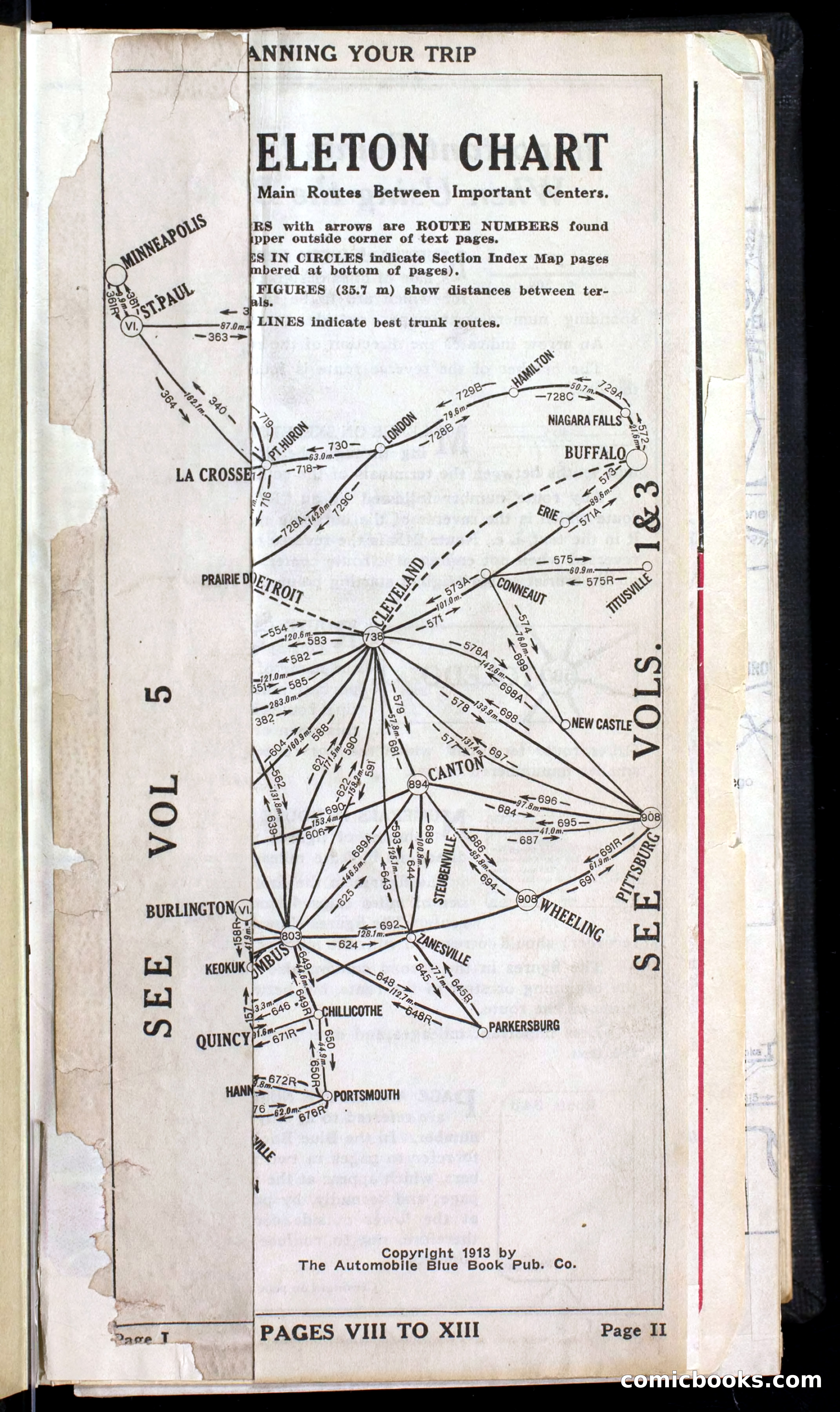
The handbook features skeleton charts showing main routes with mileage, general index maps displaying all routes in the Central States with town locations, section index maps for regional navigation, and detailed maps of crowded districts indicating roads, streets, and railroad crossings. Street maps of cities and towns are indexed separately. The explanatory text defines navigational terms such as "keep right," "bear right," "turn square right," "jog right and left," with clarifications of intersections, forks, and railroad crossing types.
Additional content includes city maps, hotel and garage listings, principal boat connections on the Great Lakes, motor vehicle laws, and United States-Canadian customs regulations. The routes were surveyed using Warner Magnetic Type speedometers, which the publisher emphasizes for their accuracy.
Public domain (pre-1929), restored and presented by comicbooks.com public-domain