From the exhibition
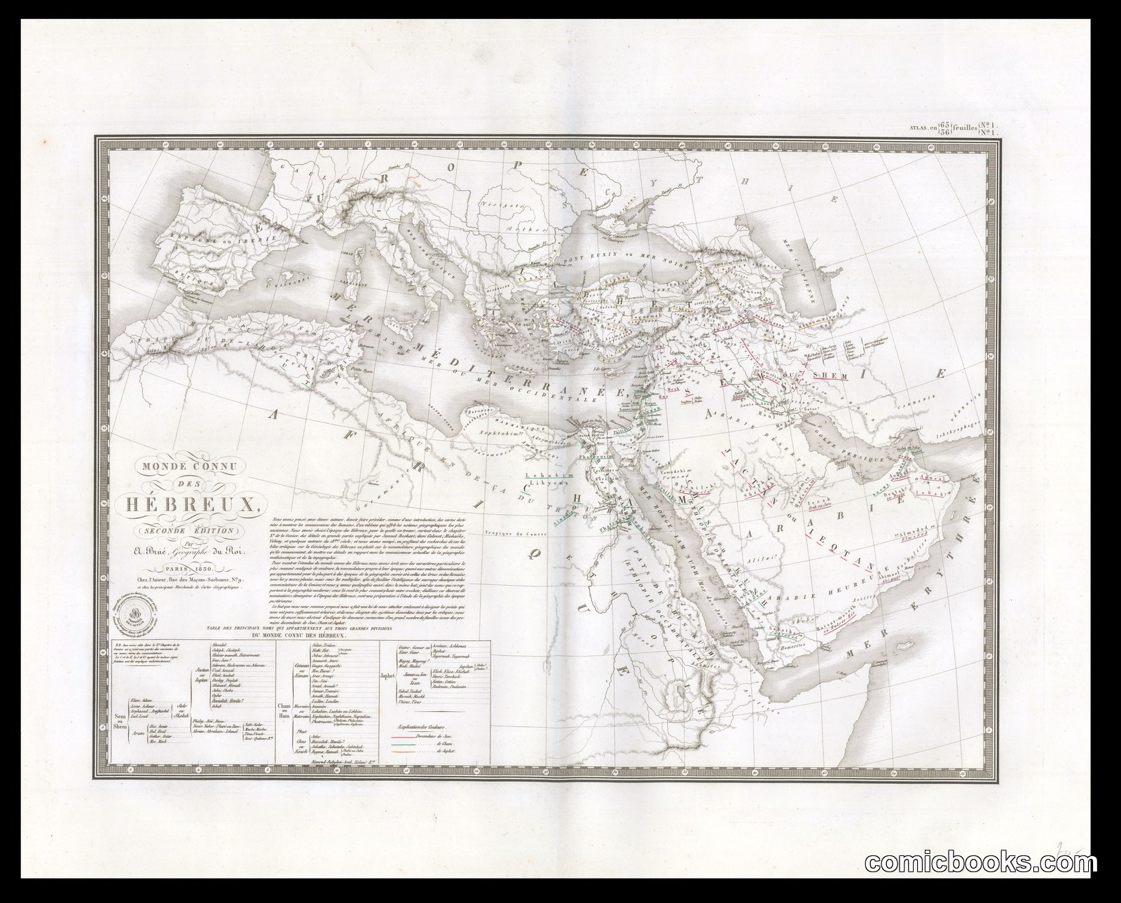
Monde connu des Hébreux (The Known World of the Hebrews)
· 1830, second edition
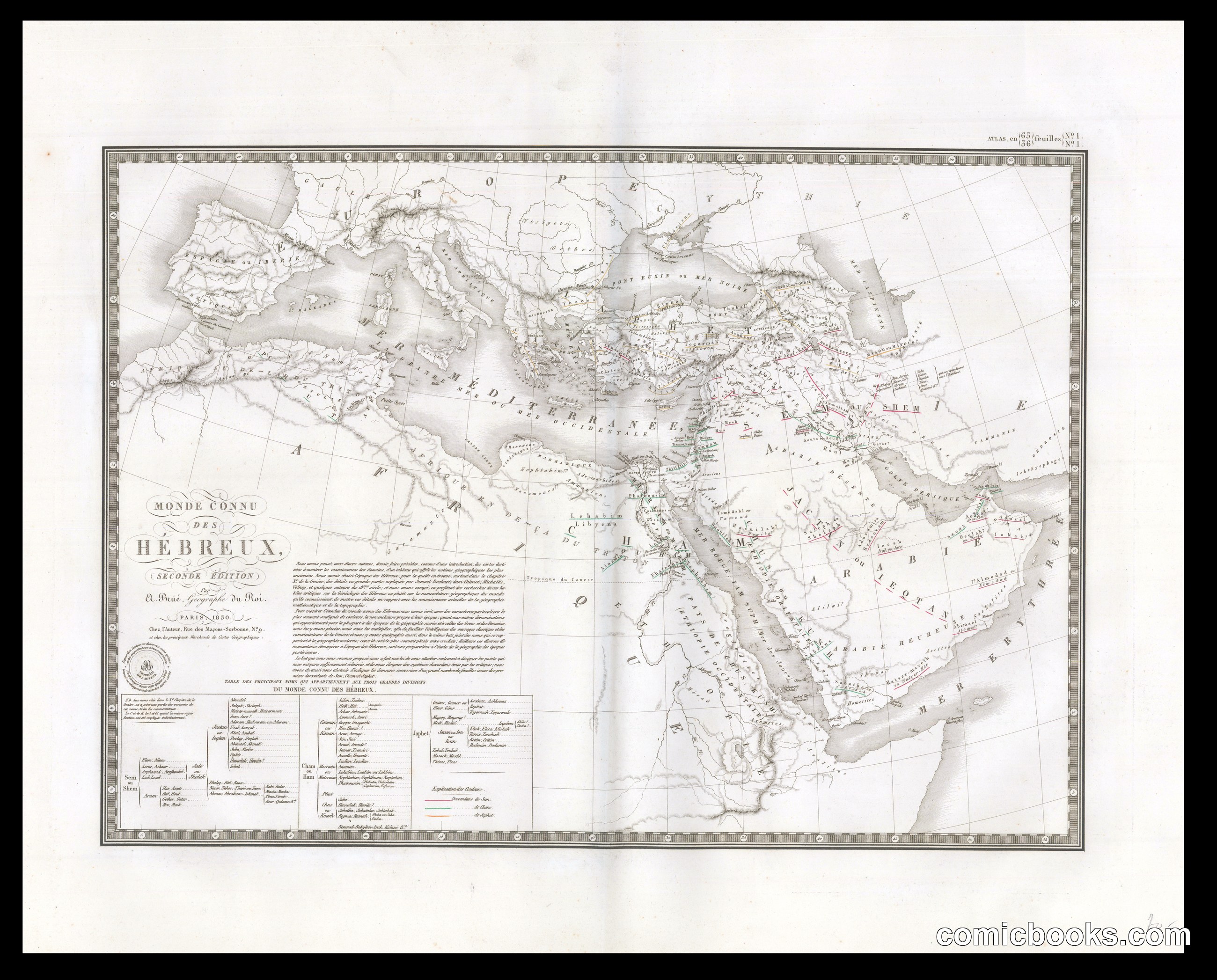
This engraved map charts the ancient Mediterranean and Near Eastern world known to Hebrew peoples, combining geographical instruction with biblical scholarship. The cartographic tradition of the eighteenth and nineteenth centuries regularly visualized scriptural history through territorial boundaries, trade routes, and dynastic notations. The inset genealogies and explanatory text boxes exemplify how educational prints merged visual narrative with textual authority—a format that influenced later sequential image-and-word storytelling. Though rendered in the sober language of geography, such maps participated in Orientalist discourse, fixing non-European peoples within European scholarly frameworks. This engraving represents the broader practice of using caricature, distortion, and selective detail—hallmarks of Gillray and his successors—applied here not to political figures but to entire civilizations represented for consumption by European audiences.
Public domain, restored and presented by comicbooks.com http://creativecommons.org/publicdomain/mark/1.0/