From the exhibition
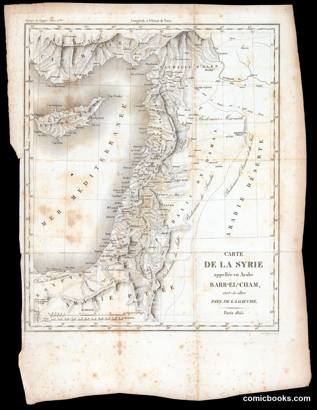
Carte de la Syrie appellée en Arabe Barr-el-Cham
Michel, F. P. · Paris, 1825
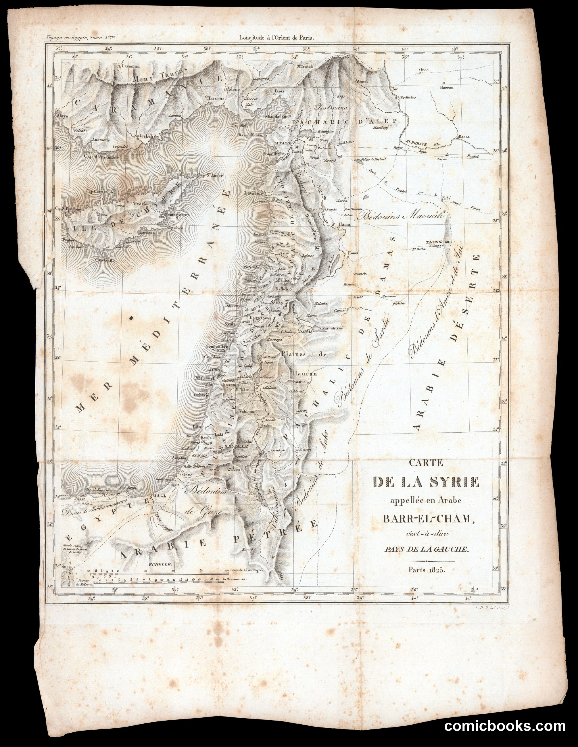
This is not a caricature or political cartoon but a copper-engraved geographical map of Greater Syria — the Levantine coast, the Bekaa Valley, Palestine, and the Syrian Desert — published in Paris in 1825, engraved by F. P. Michel. The sheet, stained with age, labels regions in French and Arabic transliteration: *Pachalic d'Alep*, *Arabie Pétrée*, *Mer Méditerranée*. It belongs to the tradition of French Orientalist cartography that accompanied Napoleon's Egyptian campaign and its enormous published aftermath, *Description de l'Égypte*. Such maps employed standardized cartographic conventions including longitude lines and place-names to represent geographical and political territories.
Public domain, restored and presented by comicbooks.com http://creativecommons.org/publicdomain/mark/1.0/