From the exhibition
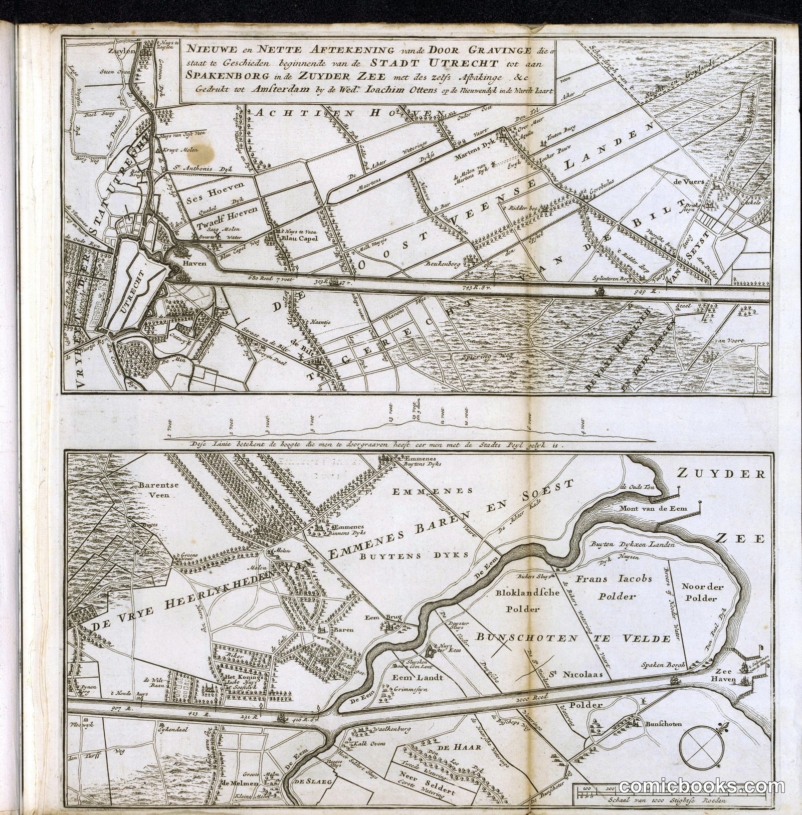
Map of the Proposed Canal between Utrecht and the Zuiderzee
· 1720
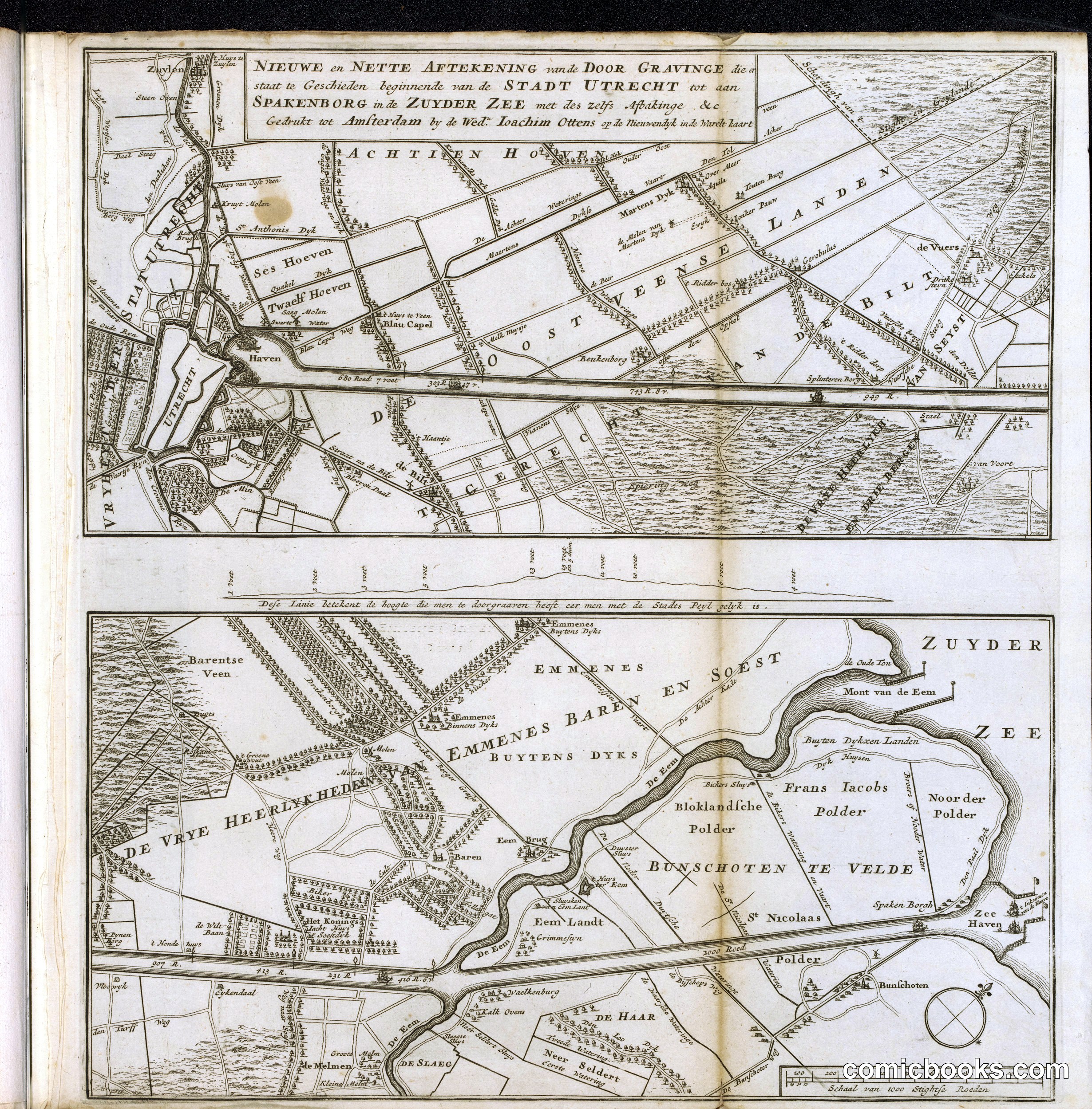
This engraved map depicts a Dutch engineering proposal to connect Utrecht to the Zuiderzee via canal, featuring detailed topography, water systems, and land divisions characteristic of early eighteenth-century Dutch cartography. The two panels show the canal route and surrounding polders with remarkable precision, marking roads, settlements, and waterways. Such technical maps served practical purposes in land management and public works planning, yet also functioned as instruments of state power, visualizing territorial control and commercial ambition. This print exemplifies the marriage of artistic skill and scientific documentation that defined the Dutch Golden Age's cartographic tradition—a visual language that would influence how subsequent generations understood and represented both geographic and political landscapes.
Public domain, restored and presented by comicbooks.com http://creativecommons.org/publicdomain/mark/1.0/