From the exhibition
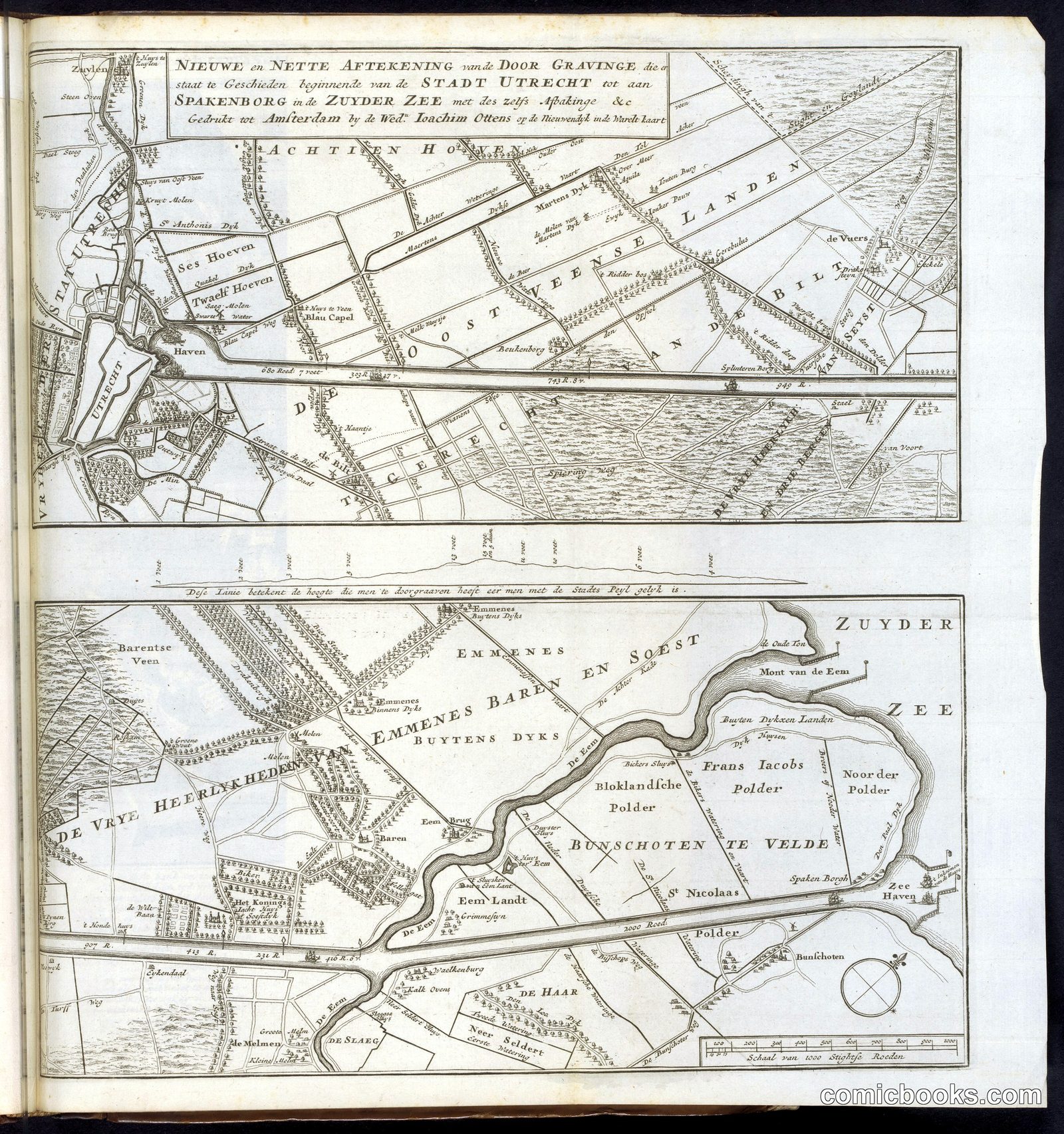
Map of the Proposed Canal between Utrecht and the Zuiderzee
· 1720
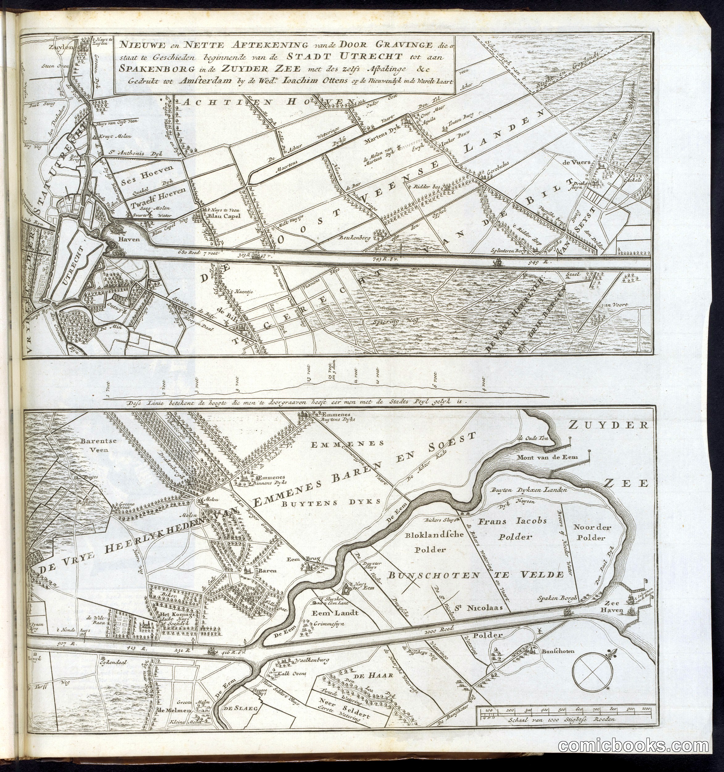
This engraved map documents an ambitious Dutch engineering proposal to connect Utrecht to the Zuiderzee via canal. The three panels show both overhead survey views and a cross-sectional elevation, illustrating the technical complexity of water management in the Dutch Golden Age. Rather than satirical caricature, this represents the practical cartographic tradition underlying later comic illustration—the marriage of visual clarity with narrative sequence. The layered, explanatory format prefigures how comic strips would panel information across space. Dutch mapmaking of this era balanced scientific precision with decorative embellishment, establishing visual conventions that comic artists would eventually adapt to tell stories of human folly and ambition.
Public domain, restored and presented by comicbooks.com http://creativecommons.org/publicdomain/mark/1.0/